Difference between revisions of "Google Maps background"
From The Flat Earth Wiki
Tom Bishop (talk | contribs) |
Tom Bishop (talk | contribs) |
||
| Line 6: | Line 6: | ||
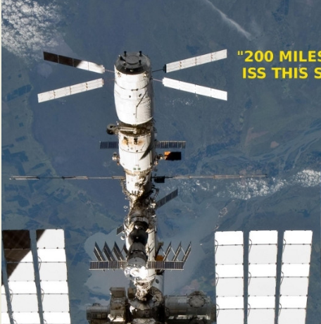
([https://spaceflight.nasa.gov/gallery/images/shuttle/sts-133/html/s133e010447.html Source from nasa.gov]) | ([https://spaceflight.nasa.gov/gallery/images/shuttle/sts-133/html/s133e010447.html Source from nasa.gov]) | ||
| + | |||
| + | |||
| + | [http://metapicz.com/#landing?imgsrc=https%3A%2F%2Fspaceflight.nasa.gov%2Fgallery%2Fimages%2Fshuttle%2Fsts-133%2Fhires%2Fs133e010447.jpg EXIF data for the above image] | ||
Now compare it with so called "real" ISS video footage: | Now compare it with so called "real" ISS video footage: | ||
Revision as of 17:26, 30 April 2018
NASA says that the ISS generally maintains the same altitude at all times.
Check out the fake google maps background in the S133-E-010447 photo of the ISS. You can see the color of tiny patchwork fields.
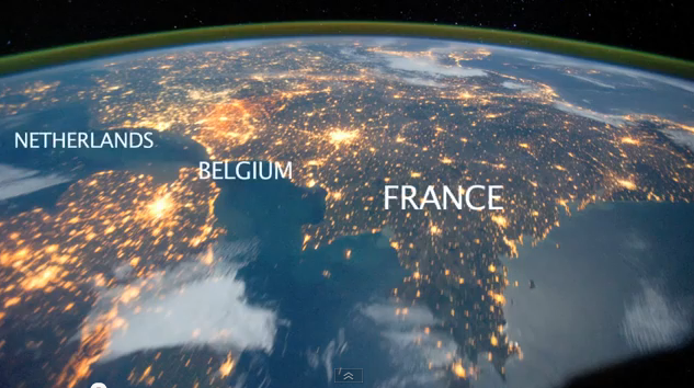
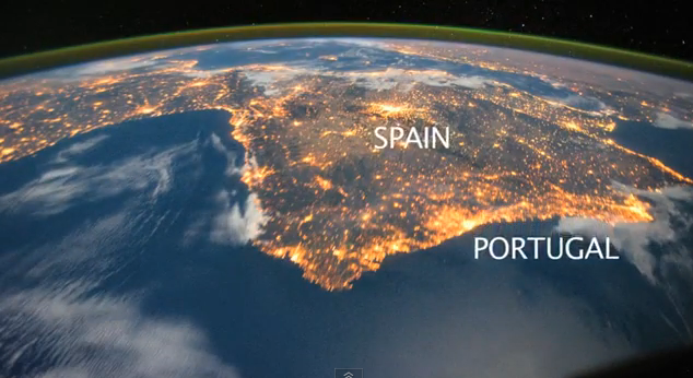
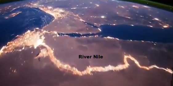
Now compare it with so called "real" ISS video footage:
At that height entire countries can be seen!


